Home / Routes
Popular car shipping routes
Lane-specific detail rather than a national average: the corridor your vehicle actually travels, realistic transit, how the season moves the price, and what the access looks like at each end.
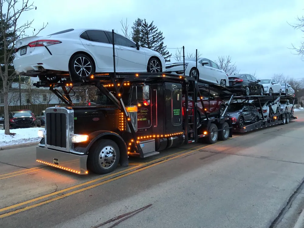
California to Florida car shipping
Roughly 2,400 to 3,100 miles depending on the metros
Florida to California car shipping
Roughly 2,400 to 3,100 miles depending on the metros
California to New York car shipping
Roughly 2,800 to 3,000 miles depending on the metros and the corridor the carrier takes
New York to Florida car shipping
Roughly 1,100 to 1,500 miles depending on the metros
Florida to New York car shipping
Roughly 1,100 to 1,500 miles depending on the metros
Texas to California car shipping
Roughly 1,200 to 1,900 miles depending on the metros
California to Texas car shipping
Roughly 1,200 to 1,900 miles depending on the metros
Texas to Florida car shipping
Roughly 700 to 1,400 miles depending on the metros
Florida to Texas car shipping
Roughly 700 to 1,400 miles depending on the metros
Arizona to California car shipping
Roughly 350 to 800 miles depending on the metros
Why we price lanes, not miles
A cents-per-mile figure is the least useful number in auto transport. Two moves of identical distance can price very differently, because what a carrier charges depends on how many trucks are already going that way with space — and that changes by direction, by season and by week.
This is why a route and its reverse are separate pages here. California to Florida in November is a different market from Florida to California in November, even though it is the same road. Each page describes the direction it is actually about.
Three things that move a route price
- Direction and season. On seasonal lanes this is frequently the largest single factor, and it is the one you can plan around.
- Which metros, not which states. Texas is large enough that El Paso and Houston are 750 miles apart, and Florida's peninsula adds several hundred miles below Jacksonville.
- Access at both ends. A hillside street, a gated community or a Manhattan address changes what the carrier has to do to reach you.
Your route not listed?
We ship every lane in the 48 contiguous states, and a quote takes the same ninety seconds whether or not the route has a page. Pages get written where we have genuinely lane-specific detail to add, not to lengthen a list.
Start from a state page instead, or send the two ZIP codes and we will price the actual lane.
Ready when you are
Two ZIP codes is all it takes to start.
Listed or not, we quote the lane you are actually shipping on.